St. Louis River Estuary
National Water Trail
You don’t have to go far to go wild…
At the headwaters of Lake Superior lies the St. Louis River Estuary National Water Trail, an adventurer’s paradise on the nation’s largest freshwater estuary. With 11 loop trails for paddlers and boaters of all skill levels and abilities, this multi-use waterway invites you to experience the wild diversity of the St. Louis River while being minutes away from town.
By providing access to wild space in an urban area, the Water trail enables more people an opportunity to build their own memories and relationships to the St. Louis River.
Routes
Below you will find posts describing each of the 11 National Water Trail routes. Click the image or title to watch a short video and learn about unique trail features.
Sort by Skill Level: Novice Trails Intermediate Trails Expert Trails
Maps
-
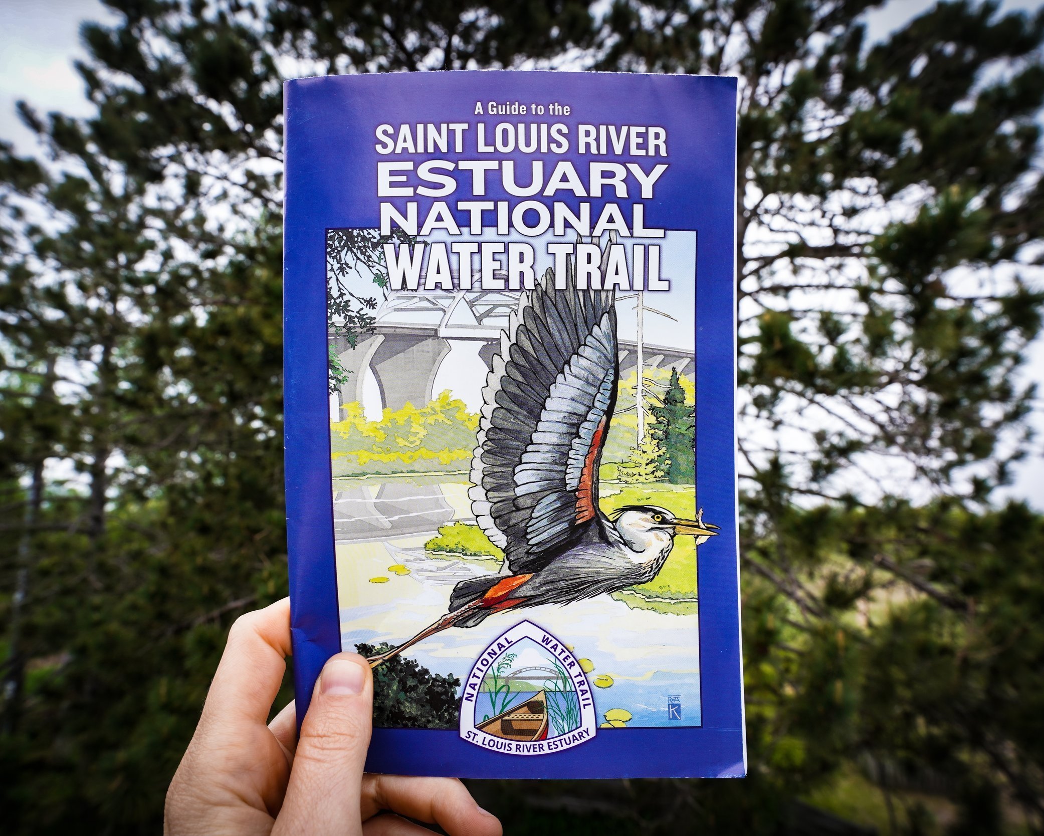
Pick up your map today!
Pick-up your free SLRE National Water Trail map at the St. Louis River Alliance office (394 S. Lake Avenue Suite 604, Duluth, MN ) or click the ‘Map Pick-up Locations’ button below to find other local distribution locations.
-
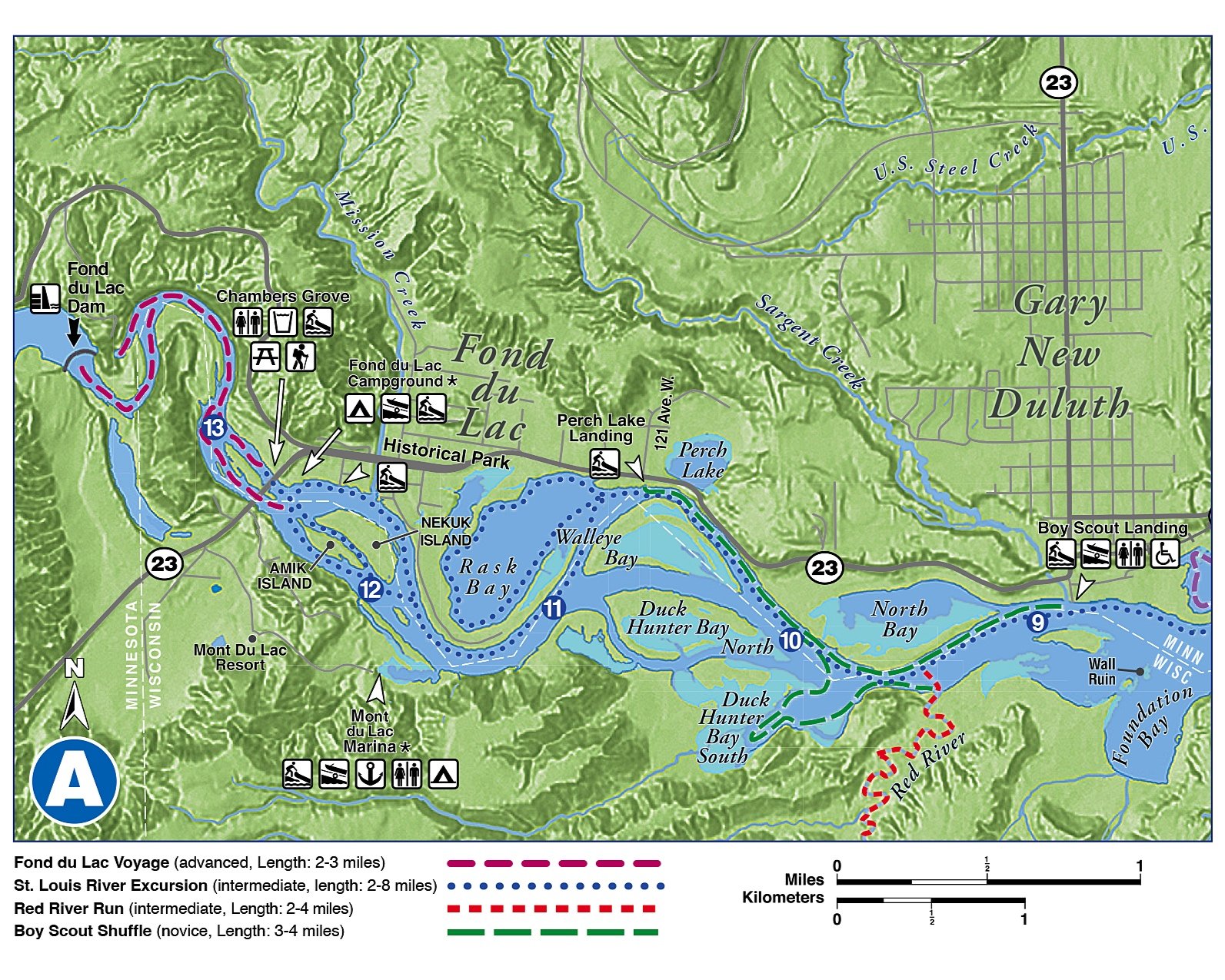
Online PDF Versions
We have created a PDF version of the map, split into sections, for your convenience. Maps are free and we encourage you to share them on your social platforms!
-

Sponsors
We would like to sincerely thank our local sponsors for advocating for the St. Louis River Estuary National National Water Trail. Their generous support helps us connect more people to the St. Louis River.
Know Before You Go
-
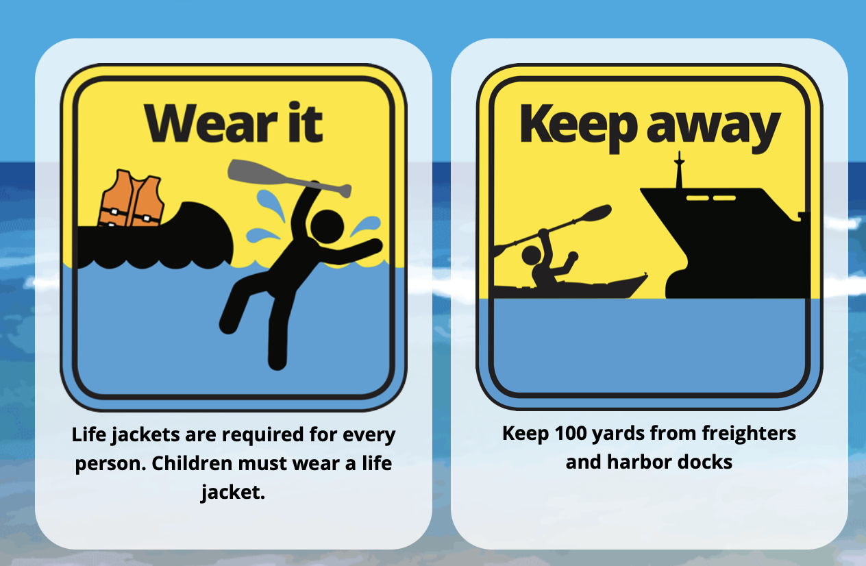
Safety
Whether you are new to paddling or have been at it for a while, you owe it to yourself to make sure you are aware of the appropriate level of safety for the activity and conditions you are participating in.
For specific safety info about the St. Louis River, visit :
-Paddle Safe Twin Ports website
-Enjoy the St. Louis River Safely’ fact sheet
-Beach and swimming conditions
-Drowning hotspots in the St. Louis River Estuary
-

Weather Conditions
The St. Louis River estuary is big water and the wind can change at any minute. We've partnered up with Paddle Safe Twin Ports and defer to their website for paddle conditions and weather forcasts. So before heading out on the water check out their website.
-

Area of Concern Construction Sites
There are many remediation and restoration projects going on in the St. Louis River Area of Concern. Click the button below to view a map of upcoming construction projects for 2023-2026.
-

Float Plan
When planning your paddle, let someone know where you expect to be and when you expect to return. Email or print a copy of a written float plan to give to a friend, colleague, or family member. Make sure you tell your contact person when you are off the water.
-
Trail Etiquette and Guidelines
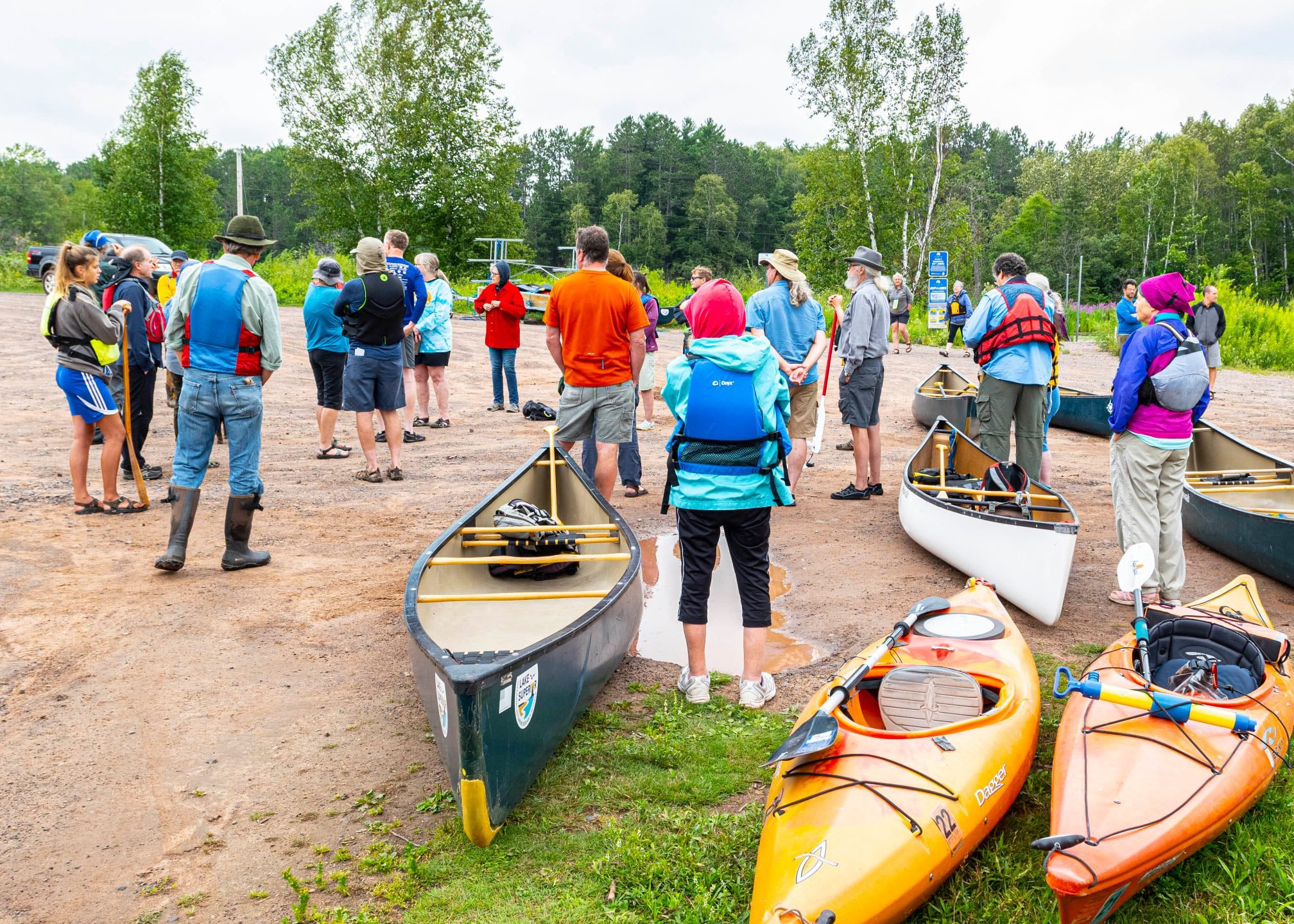
The St. Louis River Estuary is an outdoor enthusiasts playground, and though we all want to have fun on the water, it is important to stay safe and keep our environment clean.
Click the button below for 10 general guidelines to keep you prepared and secure while in the Estuary.
-

Trespassing
The St. Louis River Estuary National Water Trail is a great resource for the community. However, paddlers must be aware of trespass laws and should stay off anyone’s private property unless they are facing an emergency, are lost or require assistance.
Gichigami-ziibi: Homeland of the Anishinaabe
The St. Louis River, known to local Anishinaabe as Gichigami-ziibi ‘the River that flows into the great waters’. For nearly 14,000 years, Native people have relied on the river for food, medicine, transportation, sport, and enjoyment.
As more people are drawn to experience the St. Louis River, it is more important than ever for us to share the stories of those who have forever called this land their home. While you explore the Water Trail we encourage you to learn about and honor the life and lessons that this special place has held.
Learn more about Anishinaabe history along the St. Louis River on the Onigamiinsing Dibaajimowinan-Duluth's Stories Website.
History of the Water Trail
Unfortunately, due to unregulated industrial dumping, the St. Louis River was once one of the most polluted waterways in the United States. However, after decades of work the river is slowly returning to health. The St. Louis River Estuary National Water Trail project is a direct result of a cleaner river.
The St. Louis River Alliance is leading a working group of representatives from Minnesota and Wisconsin to implement the necessary steps to carry out the Master Plan and ensure its success.
In March of 2017, the City of Duluth and many Minnesota and Wisconsin partners completed and approved this plan. The Master Plan was then submitted to the National Parks Service and in October 2020, the St. Louis River Estuary National Water Trail was officially designated by the United States Secretary of the Interior.
Use this link to access the National Parks Service - National Water Trails System to learn more.
